Virginia's Barrier Islands
So just how many barrier islands does Virginia have?
It depends on the year or the decade. I found sources that say 23, another 20, and yet another says 14. What is common to each source is that Virginia's barrier islands are constantly changing. Strong storms move sand and are constantly reshaping shorelines and exposing new inlets and lagoons all along the coast of Virginia's Eastern Shore.
It was fun creating a personalized map of this incredible area of study. Part of the intrigue was in getting to know Google's MyMap. Placing the points were fairly easy. However, I ran into some difficulties with placing the marker for each barrier island.
1. The default map did not show all the islands.
2. The location coordinates for some of the islands were in the ocean. This I attributed to the migrating island shorelines.
3. I wanted to show the landscape.
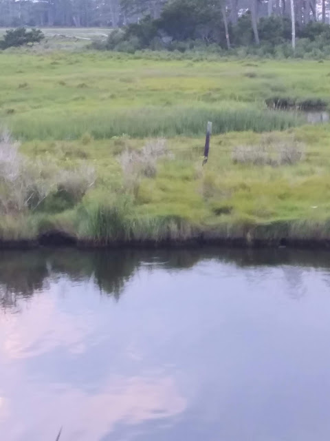
It is very beneficial having Base Map options. The satellite map option made illustrating this area much easier. The visual color ranges indicating, marshes, lagoons, inlets, and forests is very helpful to any person looking to understand the landscape of Virginia's Barrier Islands.
The map I created shows the location of each barrier island on Virginia's Eastern Shore. The map also illustrates the Pony Penning process and tradition of the last and only inhabited barrier island, Chincoteague Island.
This island is known best for its famous Chincoteague Ponies. Now that I have visited the island for myself, I understand there is more to love than just the ponies. The culture, history, and the fight for survival is as encouraging as it is enchanting. There is much to share in this blog, so stay tuned.
It depends on the year or the decade. I found sources that say 23, another 20, and yet another says 14. What is common to each source is that Virginia's barrier islands are constantly changing. Strong storms move sand and are constantly reshaping shorelines and exposing new inlets and lagoons all along the coast of Virginia's Eastern Shore.
It was fun creating a personalized map of this incredible area of study. Part of the intrigue was in getting to know Google's MyMap. Placing the points were fairly easy. However, I ran into some difficulties with placing the marker for each barrier island.
1. The default map did not show all the islands.
2. The location coordinates for some of the islands were in the ocean. This I attributed to the migrating island shorelines.
3. I wanted to show the landscape.
It is very beneficial having Base Map options. The satellite map option made illustrating this area much easier. The visual color ranges indicating, marshes, lagoons, inlets, and forests is very helpful to any person looking to understand the landscape of Virginia's Barrier Islands.
The map I created shows the location of each barrier island on Virginia's Eastern Shore. The map also illustrates the Pony Penning process and tradition of the last and only inhabited barrier island, Chincoteague Island.
This island is known best for its famous Chincoteague Ponies. Now that I have visited the island for myself, I understand there is more to love than just the ponies. The culture, history, and the fight for survival is as encouraging as it is enchanting. There is much to share in this blog, so stay tuned.
Comments
Post a Comment